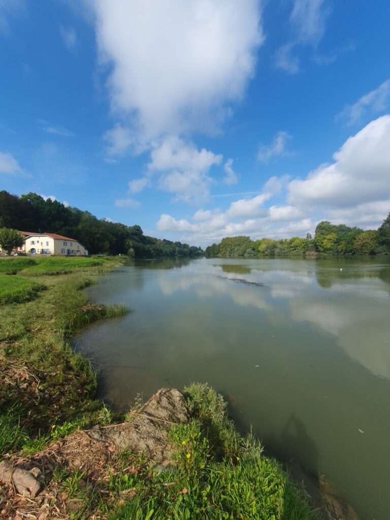
Two & a half months ago at the end of my post entitled ‘A Blogpost about my Blog‘, I declared that I had a couple of future posts that I intended to write. The first, about how I became a hymn book smuggler into the EU, I published a month later. However, I am unsure whether anyone has ever read it as it has attracted zero comments 🙁 Despite that, here finally, is the second promised post.
In late August/early September this year, I travelled from my home in the Czech Republic, to South-west France, for a ten-day holiday. As part of that trip, I explored the course of a river I had first discovered some thirty-eight years earlier – the River Adour. This was a further expression of my continued love of canals and inland waterways of which I have most recently written about here.
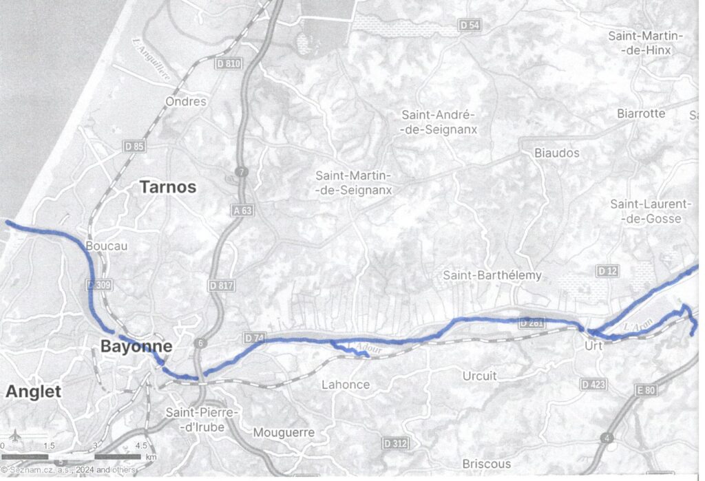
The Adour is usually navigable for some seventy kilometres from the Bay of Biscay to the city of Dax. But it has no connection to the substantial network of canals and inland waterways in the rest of France. It no longer carries commercial traffic but is used by a variety of pleasure craft. There are no locks and river levels are affected by the rise and fall of the tides.
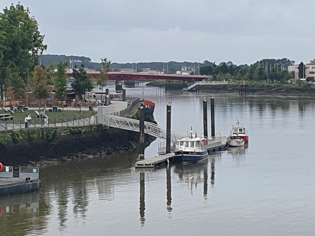
Six kilometres inland from the Atlantic coast where the Adour enters the sea, lies the city of Bayonne. Here the river is bridged for the first time by the fairly recent Pont Henri Grenet.
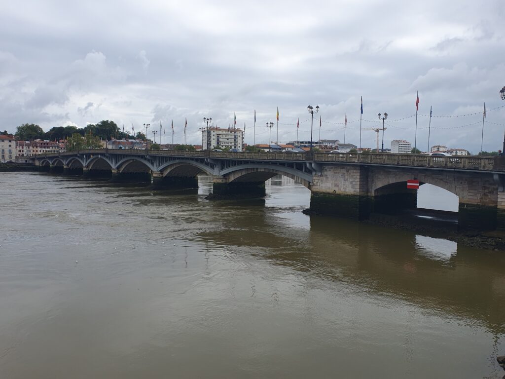
And then by the historic Pont Saint-Esprit.
After passing under another road bridge, a railway bridge and further bridge carrying the Autoroute 63, it then follows a straight and wide course eastwards, inland for sixteen kilometres, to the village of Urt.
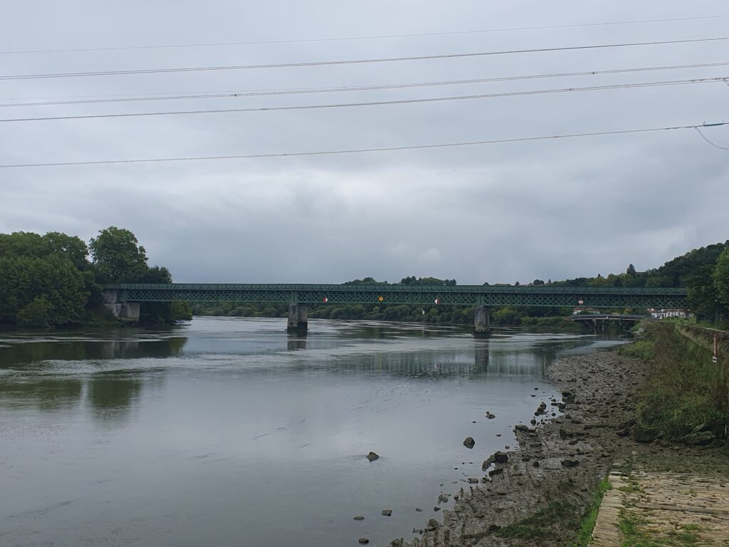
At Urt, the Adour is once more bridged and shortly afterwards, the River Aran, itself navigable for six kilometres, enters the Adour on the right bank.
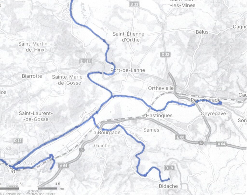
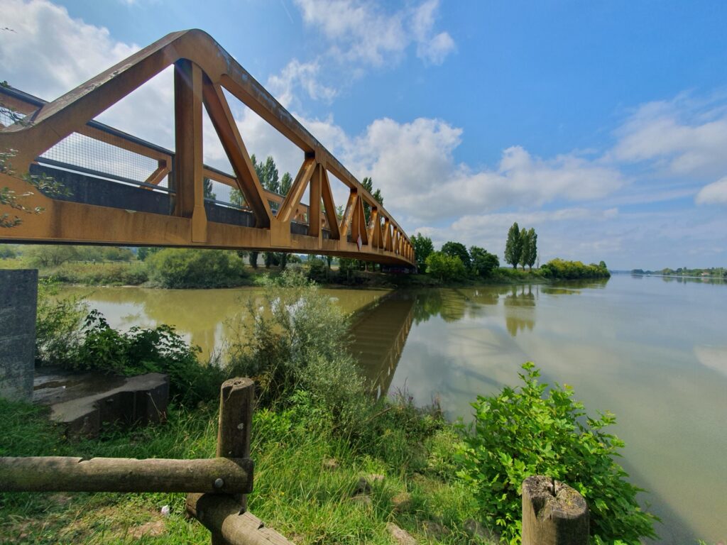
Eight kilometres further on along the Adour, the River Bidouze enters on the right bank.
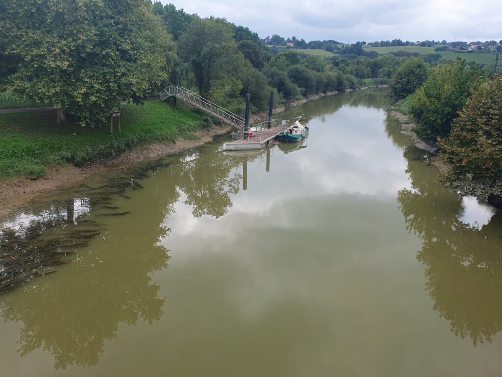
This is also navigable for about twelve kilometres to the small hilltop town of Bidache.
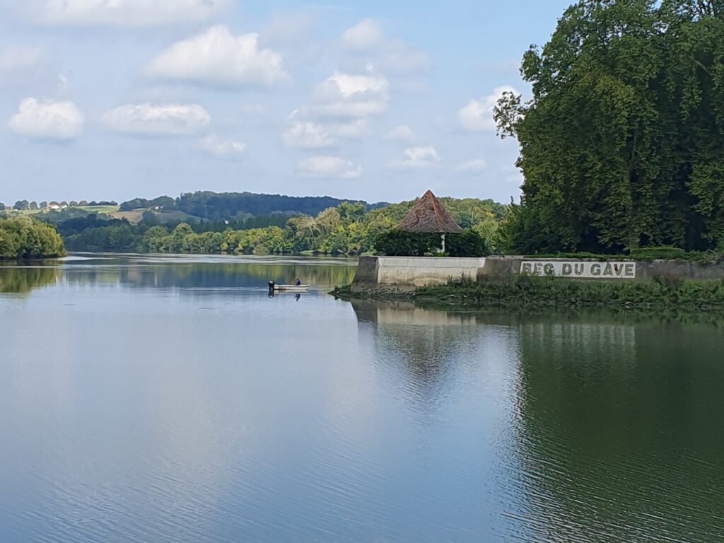
Two kilometres further on from the confluence with the River Bidouze is Bec du Gave. Here the Adour swings northward to the left, whilst on the right, continuing eastwards, is Les Gaves Réunis, navigable for nearly ten kilometres to just past the town of Peyrehorde.
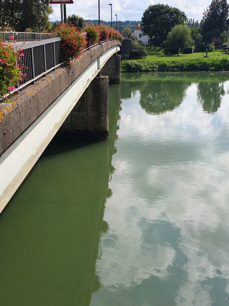
En route to Peyrehorde, Les Gaves Réunis passes the bastide village of Hastingues from where there is a lovely view down to the river, if you ignore the truck parked in the middle of the road 😉
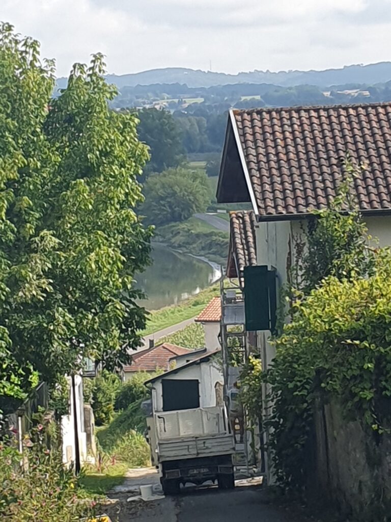
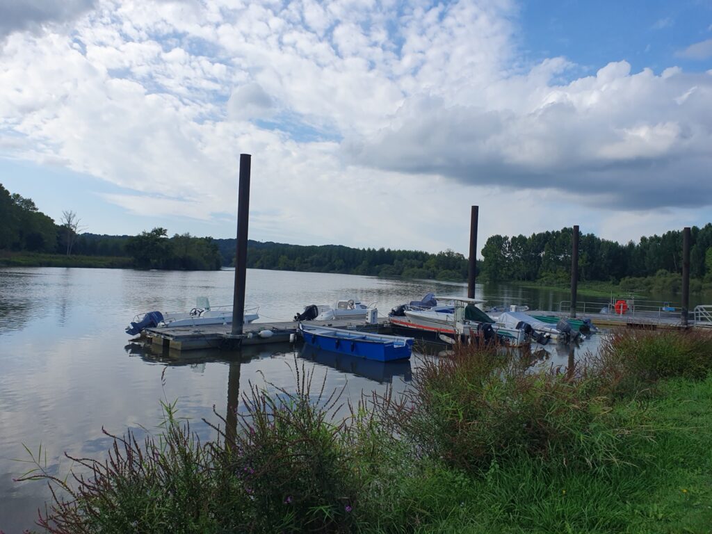
Continuing along the Adour, the next point of interest is the village of Port-de-Lanne.
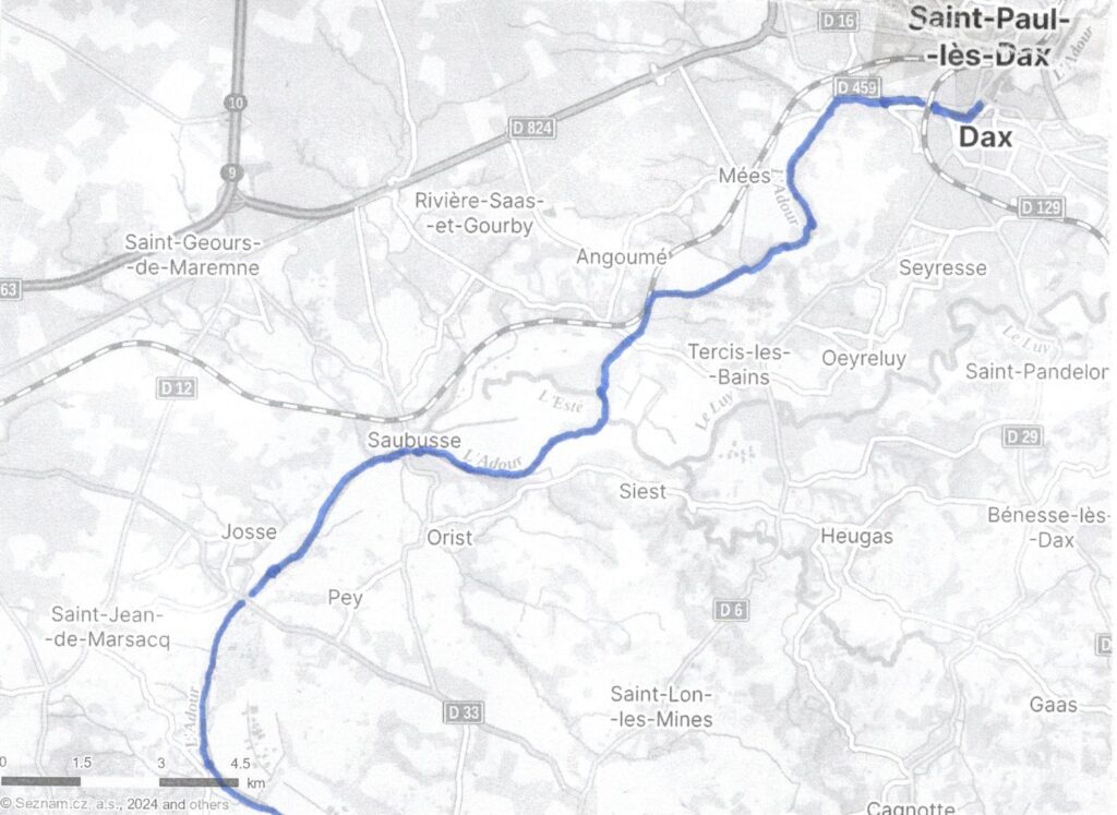
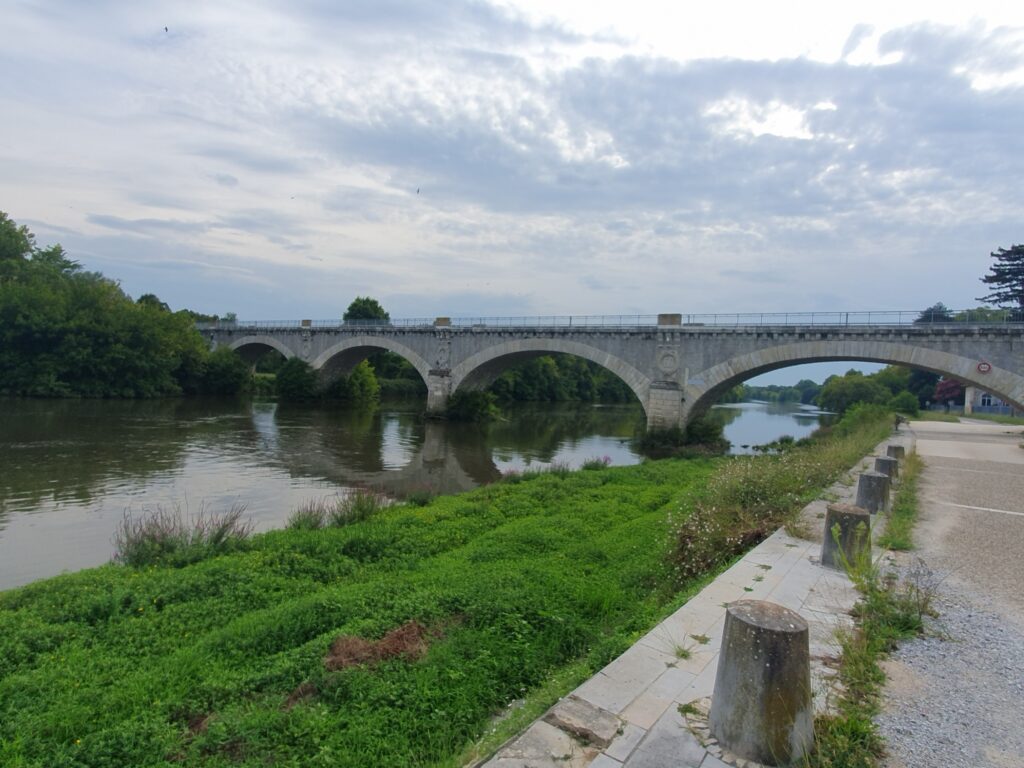
After one further bridge at Josse, the Adour reaches Saubusse where it is crossed by this historic bridge on which only one-way traffic is allowed and with a serious weight limit.
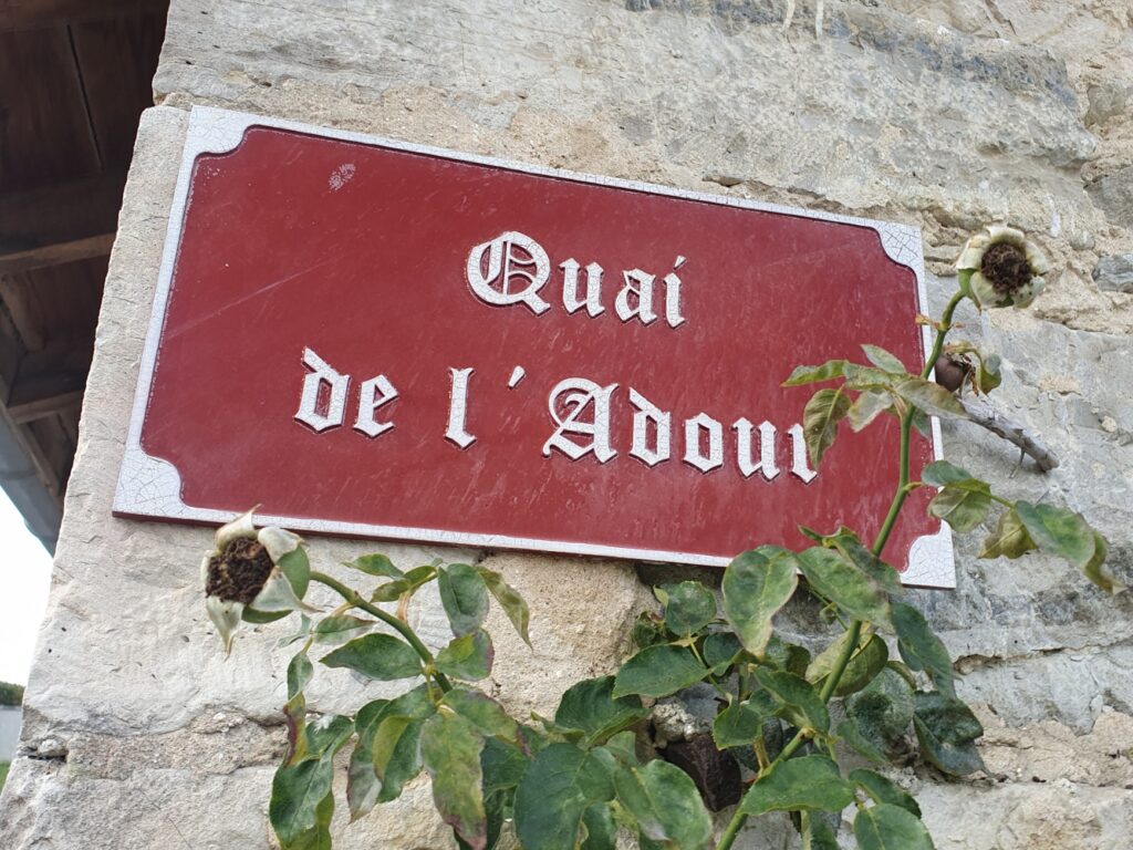
This road sign is a reminder that commercial traffic once used to load and unload here in Saubusse.
In dry summers, Saubusse can sometimes be the limit of navigation. But when water levels are normal, the Adour should be navigable for a further sixteen kilometres to the town of Dax. When I was there in early September, the water level seemed fine though I didn’t see a boat moving on the river above Saubusse.
I would love to be able to cruise the River Adour and its connected waterways. But to do so, one would either need to bring a trail-able craft and launch it at a slipway. Or enter from the Bay of Biscay in a seagoing craft. Unfortunately, I don’t have access to either 🙁 There are no hire-craft, unlike on the rest of the French canal and river network. Maybe a business opportunity that someone is missing 😉


Hi Ricky,
First of all I must apologize again for failing to comment earlier, It’s great to see you reviving your great blog and I feel very mean for enjoying your work without thanking you and trying to encourage you.
Rivers having been the first means of inland transport and navigation they can still give a great sense of how a region grew and developed before roads and railways took over the work. There is no better way to ‘get a feel’ for a place than to look at a river as a route leading to the heart of that place, how deep is the river?, how fast flowing?, where are the bridging points?, are there seasons when it is dry?, or does it flood its course? So many things can be deduced from a simple wander along a waterway. Sadly the modern world has turned from the rivers that gave many of our cities and towns their first site and they are forgotten, neglected and often polluted. Thanks for this look at what I think would be a quieter and less ‘touristy’ region of France and for your excellent photographs.
Wishing you and yours a Happy and Peaceful Christmas and good health and happiness in 2025.
Take care,
Sean
Hi Sean,
There’s no need to apologise – you have visited & commented so thank you!
What you say about rivers, how they helped a region develop, is very true. I’m sure that applies to those towns situated on the Adour & its tributaries. But the use of the Adour for commercial traffic ceased somewhere in the early twentieth century, replaced as you say, by railways & modern roads. There is a railway, parallel to the Adour from Bayonne, through Urt & another from Bayonne, through Saubusse, to Dax. And not being connected to the rest of the waterway network in France didn’t help as water transport becomes more economical over longer distances.
Certainly, the issue of river pollution is currently highly relevant, particularly in the UK, something from which the Adour is relatively free. But the other great problem for settlements near rivers is the one you mention – flooding. I didn’t post my photo of the flood marker on the bridge at Saubusse recording the water level being almost six metres above normal in February 1952.
Thank you for being such a faithful visitor. I hope to post once again, before Christmas.