At the end of the First World War, Tomáš Garrigue Masaryk, President (1918-1935) of the newly declared independent nation of Czechoslovakia, was very keen that the western boundaries of the country should be the historic ones of Bohemia and Moravia which predominantly follow the ridges of the surrounding hills and mountains. This was for two main reasons. The first was to ensure that nearly all Czech speakers would be residing within the new nation. The second was to have borders that were relatively easy to defend, should conflict once more arise in the future.
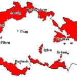
However, as explained in a blogpost I wrote two years ago, one important consequence of the adoption of these borders was that many people of German ethnic origin were also incorporated within the new nation of Czechoslovakia. According to a census taken in 1921, just over three million Germans lived in Czechoslovakia, accounting for around 23% of the country’s total population. The areas where Germans formed a majority were known as Sudetenland and the people themselves as the Sudetendeutsche.
Soon after Hitler came to power in Germany in 1933, he started making demands for the incorporation of German minorities into a ‘Greater Germany’, in particular the Sudetendeutsche residing in Sudetenland. This alarmed the Czechoslovak government who began to make defensive plans to counteract any future Nazi invasion attempt.
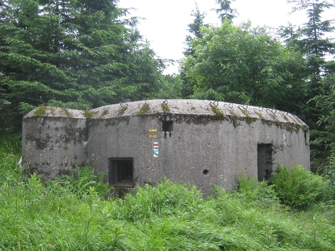
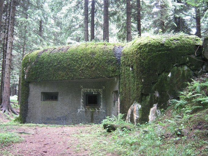
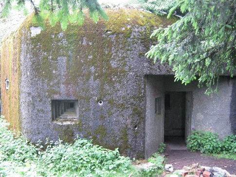
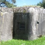
The Orlické hory now lie parallel to the border with Poland, but until 1945, this was the border with German Nieder Schlesien – Lower Silesia. Between 1935-1938, a whole series of defensive fortifications were built here, as can be seen in these photographs. The idea was that, from these positions, any possible invasion could be held in check, until the wider Czechoslovak Army could be mobilised to deal with it.
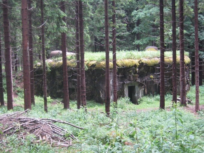
It is somewhat ironic that the construction of these defences, created much needed employment for the local population who had been hard hit by the financial crash of 1929 and the economic depression that followed. Yet the majority of these people were themselves, German speakers!
The whole issue of Sudetenland and the Sudetendeutsche, came to a head at the Munich Conference, held at the end of September 1938. In an effort to appease Hitler and avoid conflict, the then British Prime Minister Neville Chamberlain, along with his French counterpart Édouard Daladier, signed the infamous ‘Munich Agreement’, giving Hitler control of the Sudetenland. All this was done without the Czechoslovak government being consulted or represented at the conference.
As a result, all these border fortifications were never used for the purpose for which they were built. Despite Hitler promising that the the annexation of the Sudetenland would be the end of German territorial expansion, six months later, his forces occupied the rest of Czechoslovakia. And because Czechoslovakia had now lost the very defensive borders that Masaryk had insisted upon in 1918, the Nazi Army was able to do so, with hardly a shot being fired.
In the past few years, with the aid of EU funds, a walking trail with information boards has been established, linking the various fortifications and giving an explanation about their construction. The rather large fortification at Tvrz Hanicka, is now a museum.
Whilst walking the trail, I could not help but notice that a linguist choice had clearly been made by someone in authority. Information boards about the geology, geography, flora and fauna of the Orlické hory are in Czech, Polish and German, the three languages most likely to be spoken by visitors to this delightful area. Those explaining the origin of these defensive fortifications, are also in three languages – Czech, Polish and English. I will leave my readers to decide about the significance of this difference.

Thanks a lot for providing this deep insight over the history Ricky. I’m always fascinated to read such articles. The photos of defensive buildings you provided are very good, are they still in use now-a-days for any purpose?
Mark
These defensive buildings are now not in use for any purpose except for the large complex at Tvrz Hanicka which is a museum.
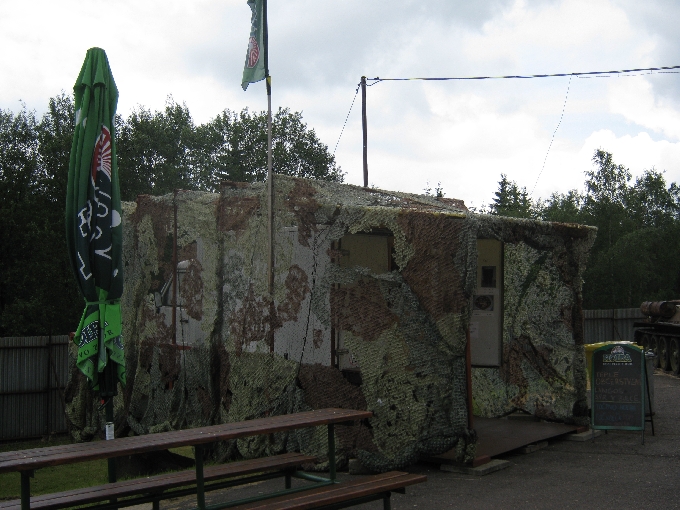
Nice pictures and interesting information. The refreshment truck is “interesting”, camouflage netting and all! Michael and I must put this on our “to do/to see” list! Thanks for sharing.
Thank you Karin – We thought the refreshment truck with its camouflage netting was rather ‘interesting’ too 🙂 The Orlické hory are a beautiful area to visit, & if you have any interest in twentieth century history, these border fortifications are a fascinating part of the build up to WW2. To answer your question on FB, there are ‘points’ for leaving a comment here – you get a backlink to your own blog 🙂
A fascinating linking of history and geography here, Ricky. I knew the history in broad outline, but the way in which it unfolded and rendered these significant fortifications useless, was new to me.
I think there would have been so much better to give all the information in all four languages. Distinctions like this are invidious and unhelpful.
Thank you Perpetua – My broad outline of European history has had many parts filled-in in far greater detail over these past nearly five years of living here in the Czech Republic. Being able to physically visit sites like these fortifications, makes the relatively recent history they illustrate, all the more real.
I agree entirely with what you say in your second paragraph. All I was doing was reporting what I observed. To be fair, I think the two different sets of signs were designed & erected by two different organisations & the ones about the geology, geography, flora and fauna, pre-date the more recent ones explaining the fortifications. But it does seem somewhat unthinking, not to have a German text in an area which receives far more German-speaking visitors than English-speaking ones.