Until recently, I’ve usually been rather wordy with my blog posts but in the last few posts, I’ve tried to let the pictures tell more of the story. And I’m going to do the same again by posting some more photos of Dugi Otok to try and give an indication of why I fell in love with the place.
 |
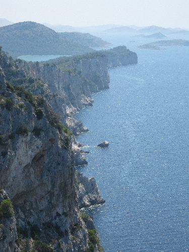
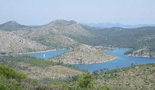
The southern end of the island, immediately to the south and west of Sali where we were staying, is designated as the Telašcica National Park. It is an area of amazing beauty with its karst topography, limestone cliffs and the long Telašcica Bay which is dotted with islands. The best way to really appreciate the area is no doubt by boat, something we didn’t manage to do. But it is possible to drive part way into the park & then walk further and see some stunning views of which I hope these two pictures are indicative. |
 |

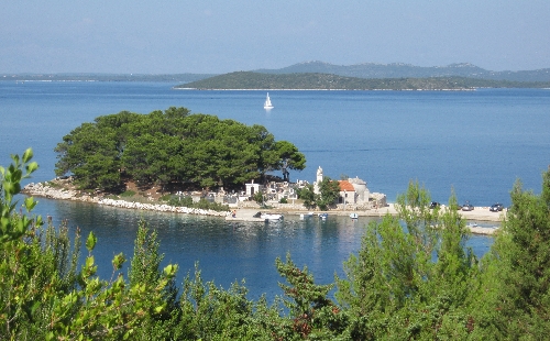
Further north on the island, just below the ferry port of Brbinj, lies the village of Savar. Here, on a wooded peninsular jutting out into the sea, is the pre-Romanic Church of St Pelegrin. The chancel dates from the seventh century and most of the rest of the tiny Church from the ninth. Its setting is idyllic as you can see and my only regret was being unable to see inside the building as it was locked with no indication as to where one could obtain the key.

And to finish, before I write about our experiences back on the Croatian mainland, here is picture of the inner part of Sali harbour taken one evening with the setting sun lighting up some the nearby buildings. Here the locals moor their boats whilst in the outer harbour, visiting yachts and motor cruisers would tie up each evening. Walking around the harbour in the evening was always an interesting and enjoyable experience with a mix of boating visitors, holiday makers like ourselves, together with local islanders both old and young.


