The Ökumenische Pilgerweg, Vacha and the Inner German Border

Here Germany & Europe were divided until 08.00, 12th November 1989 © Ricky Yates

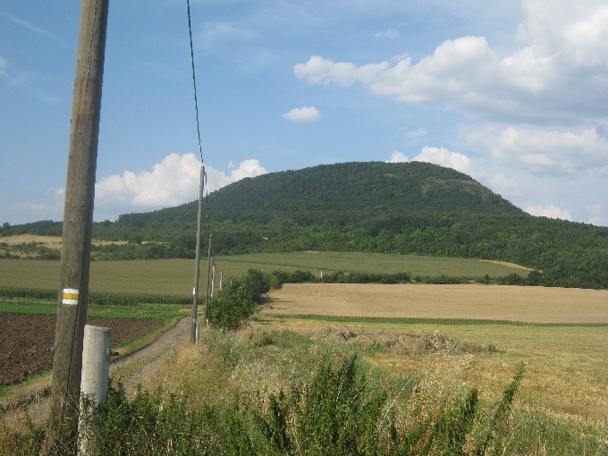
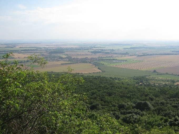
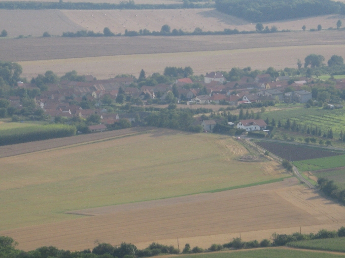
Observant readers of this blog may have noticed that my wife Sybille, has not had a mention in any of my recent posts. This is because on Maundy Thursday 2nd April, Sybille travelled by train from Prague to Görlitz, a town lying in the south-eastern corner of the former East Germany on the border with Poland. Then on Good Friday morning, she set out to walk from Görlitz, 470 km along Der Ökumenische Pilgerweg, to the small town of Vacha, which lies on the former Inner German Border.

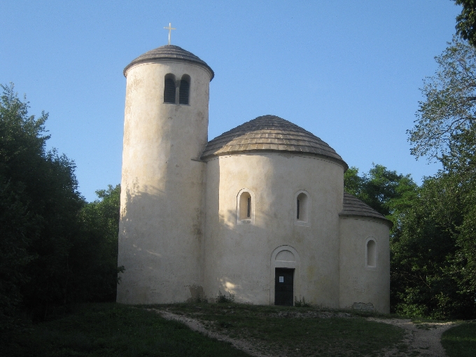
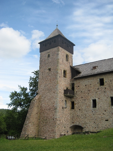
Der Ökumenische Pilgerweg was established in 2002-3, almost solely by the efforts of one lady, Esther Zeiher. It follows the line of the ancient Via Regia passing through Leipzig, Erfurt and Eisenach. Simple pilgrim accommodation is available along the way at quite reasonable cost, provided by both the Roman Catholic and Protestant Churches.

Sybille’s original plan was to complete her pilgrimage and be back in Prague, before I left for the ICS Chaplains Conference in the Netherlands on Monday 27th April. But a slight problem with her knee just over two weeks into her journey, caused a delay in her anticipated schedule. Fortunately, ‘Aunty Karen’ agreed to have Šárek the cat whilst I was to be away, allowing Sybille to complete her pilgrimage, which she did by successfully, arriving in Vacha on Wednesday 29th April. She was then able to stay on in Vacha for another night, allowing me to pick her up on my return journey to Prague from the Netherlands, on Friday 1st May.

So after breakfast on Friday 1st May, I set off from the Mennorode Conference Centre, driving back into Germany and soon afterwards headed south towards Dortmund and then east towards Kassel, the city where Sybille was born. Then it was south again and around Bad Hersfeld, before leaving the autobahn for the final 20 km into Vacha. I had promised Sybille that I would reach her between 14.00 and 14.30, so I was pleased to drive into the town square of Vacha at 14.15, to be greeted by Sybille, seeking to attract my attention by waving my walking pole at me!

Vacha, pronounced by the locals ‘Facher‘ – native English-speakers beware 🙂 – lies within the former East Germany, adjacent to the Inner German Border with the former West Germany. These days, the Inner German Border is simply the boundary between the Bundesland of Thüringen and the Bundesland of Hessen. But there remains on the edge of the town, both evidence of recent past history, together with artwork celebrating the end, in November 1989, of the post-Second World War internal division of Germany.

Remains of the former dividing wall outside Vacha © Ricky Yates

The remains of the dividing wall between East and West.

One people © Ricky Yates
Without walls © Ricky Yates
In freedom. Wall opening 12.11.1989 © Ricky Yates

Decoration of an electricity sub station, adjacent to the dividing wall.

East German watchtower under renovation! © Sybille Yates

Overlooking both the sub station and the dividing wall, was this watchtower, surrounded by scaffolding as it is undergoing restoration! I forgot to photograph it but fortunately, Sybille did!. But it does raise the question that I’ve written about previously on this blog, as to what structures and memorials from past unpleasant history do you preserve, and what do you demolish or destroy?

Deciding that I was too tired to drive all the way back to Prague that day, we headed eastwards and eventually turned off the autobahn to the town of Apolda where we stayed in a B and B overnight. In the centre of Apolda was a large red brick Protestant Church with an early reminder of the forthcoming five-hundredth anniversary of Martin Luther and the German Reformation to be marked and celebrated in two years time.

Poster on the tower of the Protestant Church in Apolda © Ricky Yates

Ceský Ráj revisted

Hlavatice rock tower © Ricky Yates


Last Friday, during my post-Easter break, I explored the Hruboskalsko, another part of Ceský Ráj, a beautiful area of sandstone rocks and forests lying between 70-100 kilometres north east of Prague. Having parked my car in a designated parking area near the village of Pelešany, I made my way to join the red waymarked trail. This trail is designated the Zlatá Stezka or ‘Golden Trail’, so called because if you were to walk the whole of it, you would see all the best sights within Ceský Ráj.


After an initial climb, the trail brought me to this rock tower at Hlavatice. In the early years of the twentieth century, the local walking club erected a spiral iron staircase consisting of thirty-six steps, which allows access to the top of the tower……


….from where there is this splendid view of the nearby town of Turnov.

Turnov as seen from the top of the Hlavatice rock tower © Ricky Yates

A further two kilometre walk brought me to Hrad Valdštejn/Valdštejn Castle, originally built to take full advantage of the defensive qualities provided by the rocky outcrop on which it is situated.

Hrad Valdštejn/Valdštejn Castle © Ricky Yates
Hrad Valdštejn/Valdštejn Castle from below © Ricky Yates

During April, the castle is only open to the public on weekends, so being Friday, it was closed. However fortunately, the neighbouring Hospoda was open!

'The Castle Pub!' © Ricky Yates
‘The Castle Pub!’ © Ricky Yates
Pive?ko © Ricky Yates
Pivecko © Ricky Yates

Following liquid refreshment, I walked on through the beautifully forested landscape with some spectacular views of amazing rock towers. I’ll let the photographs do the talking.

Amazing rock towers © Ricky Yates
More amazing rock towers © Ricky Yates
Still more amazing rock towers © Ricky Yates

I eventually reached Hrubá Skála, where there is a large hotel, built onto the remains of an earlier castle.

Hotel at Hrubá Skála © Ricky Yates

There is an access road up to the hotel from the valley below. Two large German tourist buses were parked outside the hotel and a third pulled up a couple of minutes later. Clearly the hotel gets good business from elderly German tourists, revisiting the Heimat 🙂 I beat a hasty retreat!

Rock tower © Ricky Yates


I made my return journey along the yellow waymarked route from where there are further views of more rock pillars. This one on the left I thought was particularly spectacular whilst those in the photograph below, look very dramatic in the early evening light.


Rock towers in the early evening light © Ricky Yates

Ceský Ráj

The view from Drábské svetnicky © Ricky Yates


Ceský Ráj, which literally translates into English as ‘Czech Paradise’ or ‘Bohemian Paradise’, is beautiful area of sandstone rocks and forests lying between 70-100 kilometres north east of Prague. Yesterday, on my first proper day-off for about a month, I took an 18 km walk through the western edge of Ceský Ráj, starting and finishing in the small town of Mnichovo Hradište.

After walking four kilometres from Mnichovo Hradište railway station, crossing the railway line, the Prague – Liberec motorway and then open fields, I reached the small village of Zásadka, which lies at the foot of the rocks. Here I enjoyed a traditional Czech lunch of Smažený sýr a hranolky, accompanied 0.5l of Svijany beer. Thus fortified, I set off further along the red waymarked route.


Valecov Castle © Ricky Yates

My walk first took me past the ruins of Valecov Castle, originally built to take full advantage of the sandstone rock towers on which it is situated.

Path between rocks © Ricky Yates

Then the path went between further rock outcrops……

Path through the forest © Ricky Yates

…and along forested valleys. My apologies for the sky being ‘blown out’, (as photographer Sybille would describe it 🙂 ), but there was such a contrast between the shade provided by the trees and the very bright Autumn sunshine.

View from Klamorna © Ricky Yates

A short detour from the path, took me to this viewpoint at Klamorna…..

Looking down to the village of Dneboh © Ricky Yates

..looking down to the village of Dneboh below.

Shortly afterwards, I reached a series of rock pillars known as Drábské svetnicky.

Inaccessible rock outcrop © Ricky Yates

Some are inaccessible…..

Viewpoint at Drábské svetnicky © Ricky Yates

..whilst others are connected by a series of bridges, steps and ladders.

The blue route - note the waymark on the right © Ricky Yates
The blue route – note the waymark on the right © Ricky Yates

My return journey was along the blue waymarked route, which passed through this gap in the rocks.

This walk was my first wearing my new walking boots. They proved extremely comfortable except that I gained one blister on the back of my left heel. May that be the first and only one!

Drábské svetnicky © Ricky Yates

Hora Ríp


Hora Ríp as seen from Vražkov. Note the yellow waymark © Ricky Yates

Hora Ríp is a prominent hill, located about 48 km/30 miles north of Prague. It protrudes from the otherwise relatively flat Central Bohemian Plain, and is very visible and easily accessible from the D8, the Prague-Dresden motorway. Of course, there should be a hácek, a little hook, above the ‘R’ in ‘Ríp’, as there should be above the ‘c’ in ‘hácek‘. But as I have explained several times previously, the set-up of this blog cannot cope with many Czech diacritics and instead renders them as ‘?’ 🙁

Wearing my geographer hat, I can tell you that Hora Ríp is the eroded remains of a former volcano. It consists of a variety of igneous rocks that are somewhere between 34 and 23 million years old. But for Czech people, Hora Ríp is believed to be the place where the first Slav people viewed the land and decided to settle here. So it has a great cultural significance.

Climbing Hora Ríp has been on my ‘bucket list’, (to use a very American expression 😀 ), for quite some time. Yesterday evening, I duly did so. My motivation was twofold. As well as wanting to tick it off my ‘bucket list’, I also wanted to see if I could still manage several kilometres of hill walking, being aware that my left leg has been giving me problems in recent days. I don’t want to set off in two weeks time, seeking to climb Swiss mountains with Sybille, if I cannot walk up a much lower Czech hill 🙁

It took me less than an hour, to drive out of Prague to the village of Vražkov, despite having to cope with rush hour traffic and various road works. I parked my car off the road at the edge of the village, and set off along the yellow waymarked route towards the summit. Near the summit, I came to the point where the red waymarked route from the village of Ctineves, joins from the right. The sign at this junction of paths, declared that it is only a further 0.5km to the summit. I have to say that it was one of the the longest 0.5km that I have walked in a very long time 🙂


Looking back towards Vražkov from near the summit of Hora Ríp © Ricky Yates

However, just before the summit, there was this wonderful view, back towards Vražkov and beyond.


Vražkov, as seen from Hora Ríp © Ricky Yates

And by using the zoom feature on my camera, I took this picture of Vražkov. If you look closely, you can just see my car, parked on the opposite side of the road from the large white house on the right of the photograph.


The view north-west from Hora Ríp © Ricky Yates

This view is towards the north-west, with the mountains that form the Czech-German border, in the distance.


The pub is unfortunately zavreno © Ricky Yates
The bar is unfortunately ‘zavreno‘ © Ricky Yates

I had read that there was a bar at the summit, offering liquid refreshment to those who have exerted physical effort to climb there. There is – but it isn’t open at 19.00 on Wednesday evenings in July 🙁

Likewise, the ancient Romanesque rotunda of Saint George, built by Sobeslav I in 1126, was also not open. However, despite both of these disappointments, I still very much enjoyed my ascent and decent of Hora Ríp. And as my leg feels better today than in recent days, I hopefully will still be able to walk with Sybille, through Switzerland and into France, in two weeks time.

The Romanesque rotunda of Saint George © Ricky Yates

Hrad Litice / Litice Castle

Litice Castle © Ricky Yates

In advance of our recent holiday in the Orlické hory, I followed my usual practice and spent some time examining detailed maps of the area, looking for interesting places to walk and to visit. For those who don’t know, my first degree is in Geography and I’ve had a life-long love of maps 🙂

In the southern foothills of the Orlické hory, I spotted a wooded rocky outcrop, surrounded on three sides by the Divorká Orlice – ‘Wild Eagle River’, on top of which were the ruined remains of a castle – Hrad Litice / Litice Castle. It looked like a fascinating place so I put it on my ‘places to visit’ list for our holiday.

Hrad Litice / Litice Castle was a little too far to walk to from where were staying. So instead, we drove to Popluží, just west of the town of Žamberk, and set out on a circular walk to the castle and back again. I chose the outward route in the hope of getting a view of the castle from a nearby hillside, before dropping down into the village of Litice nad Orlicí itself. As you can see below, I was not disappointed.


Litice Castle from the forest across the valley © Ricky Yates

The castle itself, dates from the thirteenth century and has had a chequered history, reflecting much of the wider history of what is now the Czech Republic. At one point, it was a stronghold of Jirí z Podebrad, a Hussite King of Bohemia. After the defeat of the Protestant forces of the Bohemian Estates by the Catholic League, at the Battle of Bílá hora / White Mountain in 1620, it fell into disuse and disrepair. Repairs were carried out in the latter part of the nineteenth century, and during the 1920s and 1930s, by an Irishman who owned the fortress at that time. He was predominantly responsible for the way the remains of the castle now appear today.

View from the castle tower across the valley of the Divorká Orlice © Ricky Yates

The view from the top of the castle tower is quite spectacular, only spoilt by the neighbouring stone quarry 🙁 However, one always has to remember that if roads and railways are to be built and existing ones maintained, then gravel and stone chips are essential and they have to come from somewhere!

Fortifications at Litice Castle © Ricky Yates

Although only the lower part of much of the castle fortifications now exists, it is still possible to see the thickness of the original exterior walls, with the appropriate orifices from which any surrounding enemy could be fired upon.

Having visited the castle, we returned down the hill to the village of Litice nad Orlicí, and then set out on our return walk along the valley of the Divorká Orlice – ‘Wild Eagle River’, to Popluží, where we had left the car earlier in the day. The combination of a walk through attractive fields and forests, together with a visit to a historic castle, made for a most enjoyable day.

View of the remaining fortifications from the tower of Litice Castle © Ricky Yates