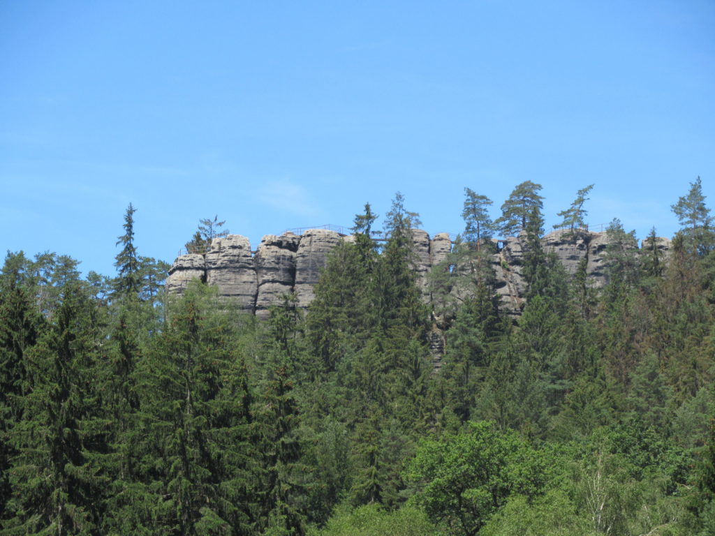
Mariina skála is a prominent rock outcrop, 428 metres above sea level, located north of the village of Jetrichovice, which is in turn, around 12km north of Stará Oleška, the village where I live. Perched on top of the rock is a gazebo forming a viewing platform, with spectacular views across the surrounding area.
Back in late March 2016, I did climb up to Mariina skála as I describe and illustrate in the latter part of this post. But more recently, I have wanted to return for two reasons. Firstly, the weather on that previous visit was somewhat misty, which restricted the views. Secondly, I had seen in local news reports, that a brand new gazebo had been erected earlier this year, replacing its predecessor which had become unsafe.
Therefore, when Monday 6th September dawned fine and sunny, I drove to Jetrichovice and then set out on the red waymarked route, to climb up to the top of Mariina skála. Jetrichovice is around 230 metres above sea level meaning a fairly steep climb of about 200 metres or 650 feet.
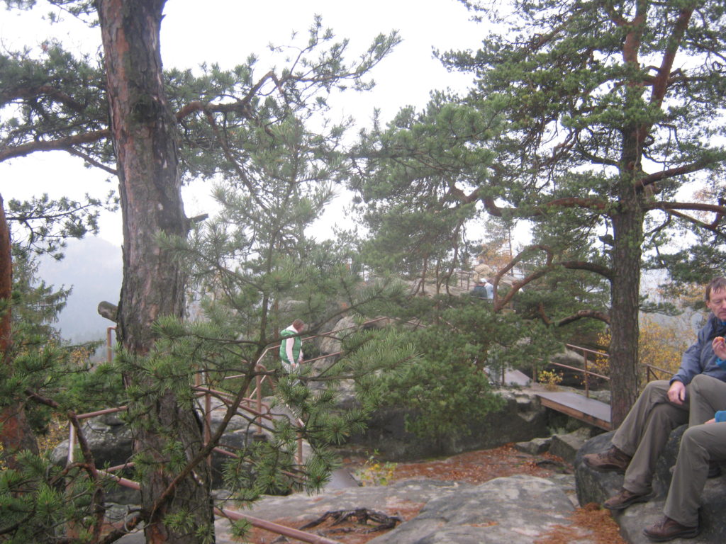
This photograph, taken standing on the first section of the viewing platform, shows some of the steps I had to climb to get there. But the spectacular views made the effort in climbing more than worthwhile as I hope the following photographs illustrate.
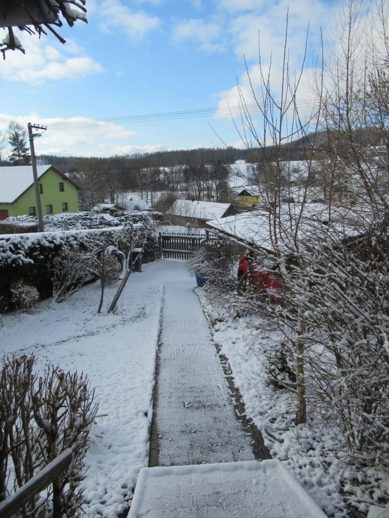
As I have indicated in two previous posts, here and here, this past Winter has been a cold and very snowy one. And Winter has been very reluctant to release its grip. It seems that each time Spring tries to make its appearance, someone promptly kidnaps it 🙁
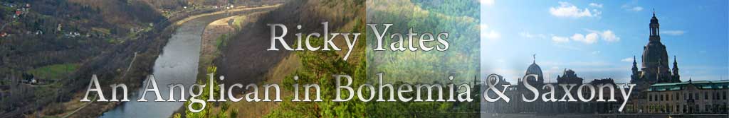
Altogether, we had over six weeks of lying snow, which only finally began to melt in the latter part of February. This photograph, taken on 20th February, shows one of my clumps of snowdrops, reappearing as the surrounding snow slowly melted.
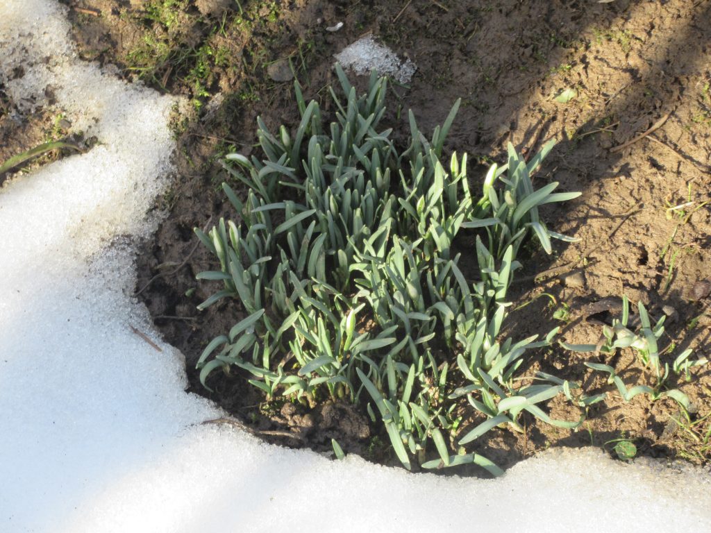
And here they are ten days later, flowering beautifully.
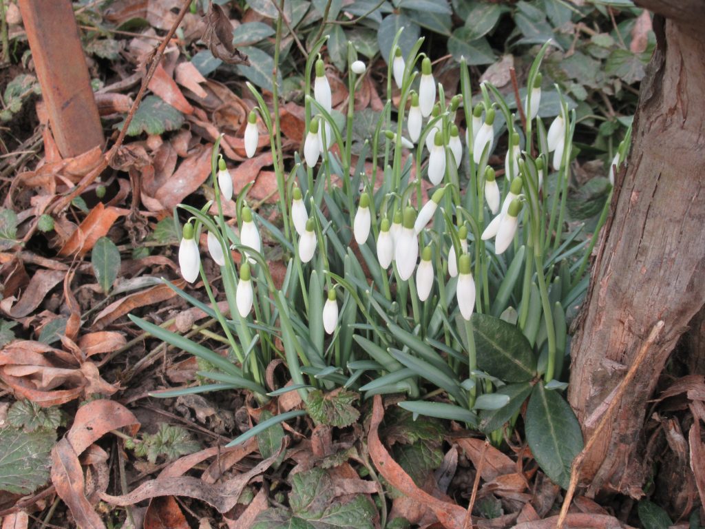
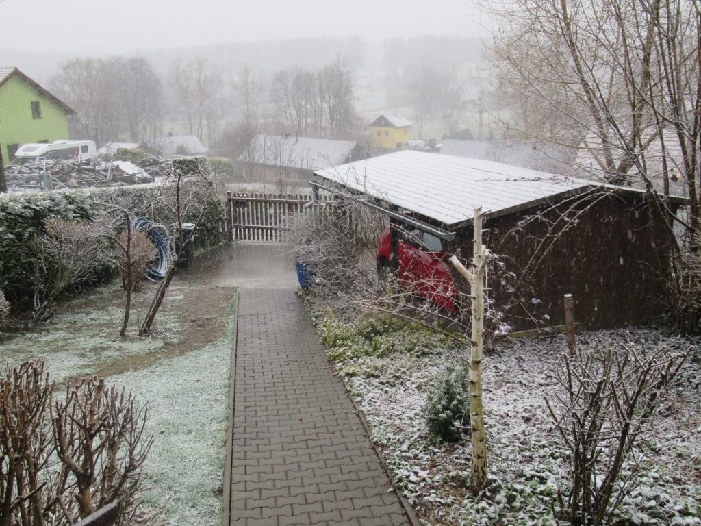
Believing that we had seen the last of the snow for this Winter, during the first weekend of March, I moved my snow shovel from outside my back door, to its Summer home in the woodshed. On the morning of Monday 8th March, this was the scene that greeted me when I opened my back door!
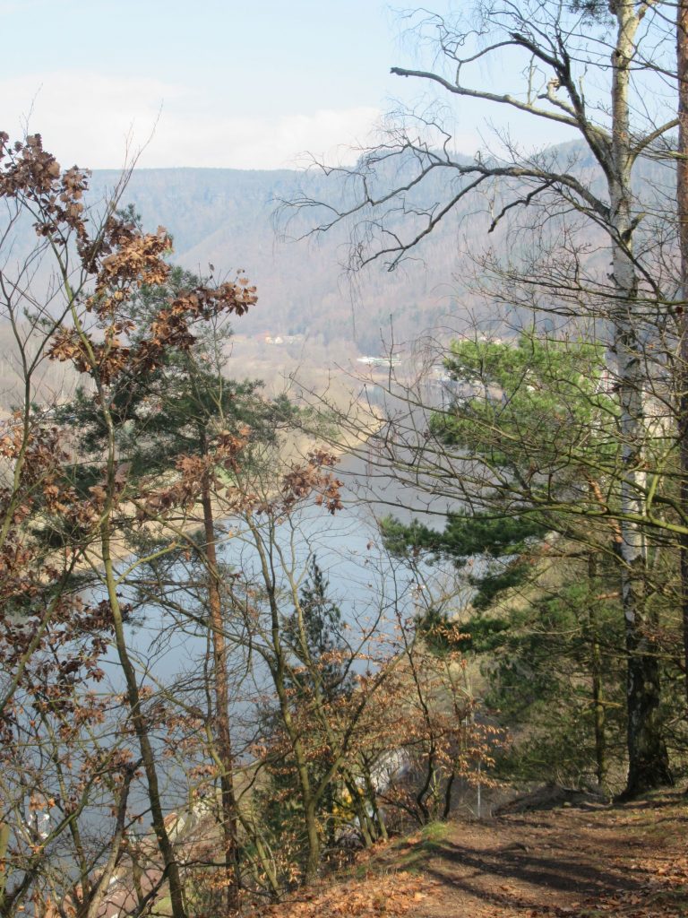
But after the official beginning of Spring, the weather did finally become Spring-like. Therefore on Friday 26th March, I went on a 9km circular walk from the village of Ludvíkovice, exploring a route above Kanon Labe which I hadn’t previously walked. It included this wonderful view.
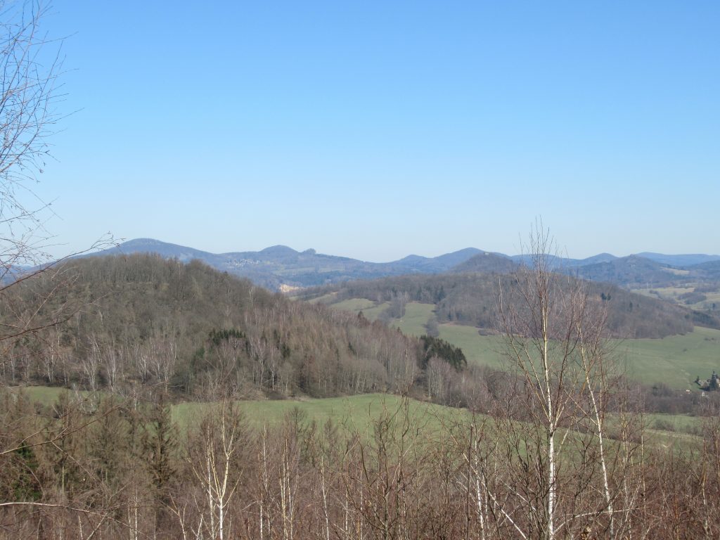
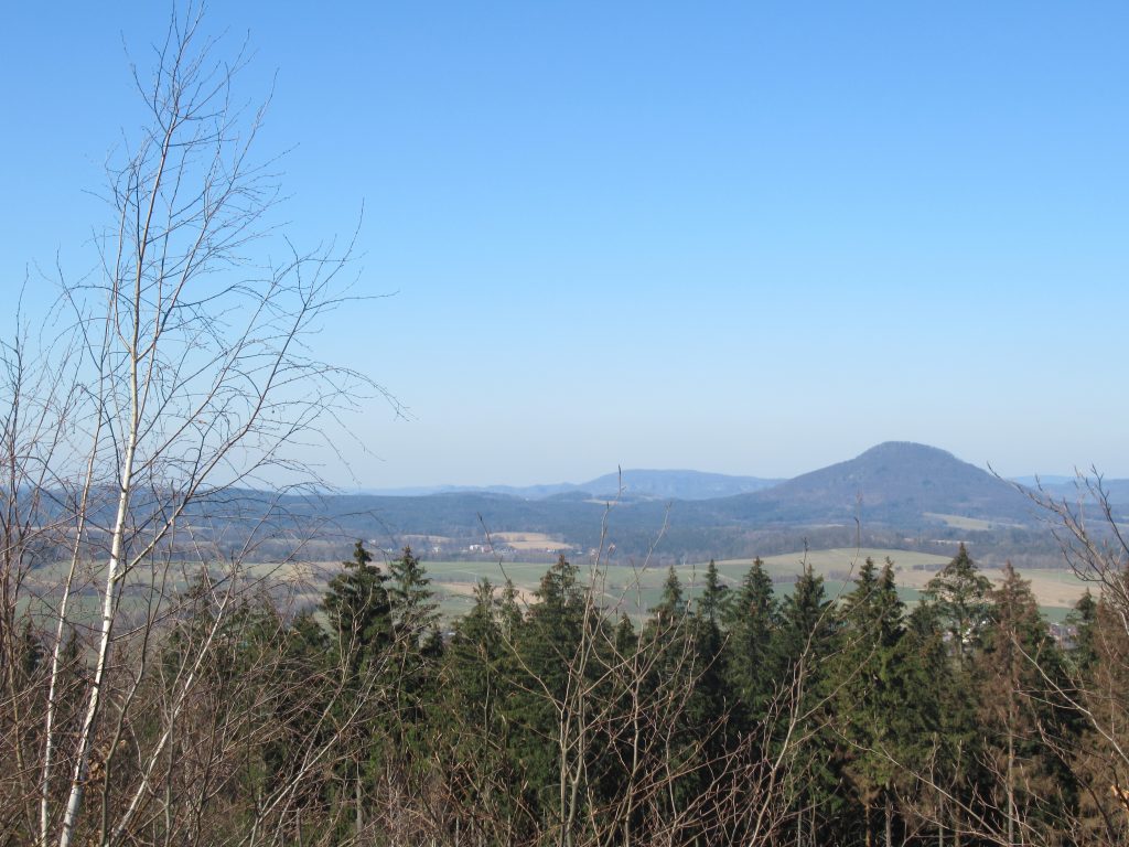
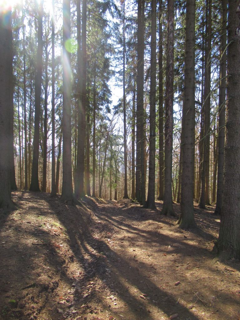
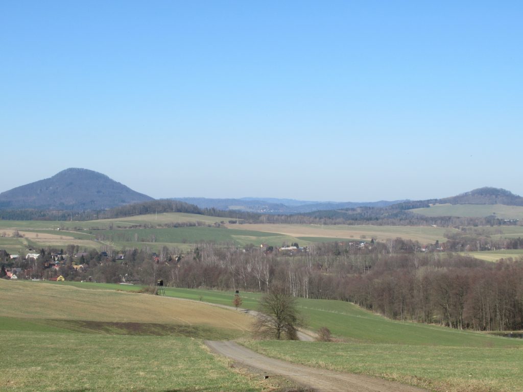
Then on Tuesday 30th March, I walked with my friend Kát’a, on a triangular route from Markvartice to the summit of Vysoký les (464m) & return. There was bright sunshine and a maximum temperature of 22°!
Whilst this is the view west with the conical hill Ružovský vrch on the right. The village you can just make out in the centre of the photo is Stará Oleška.
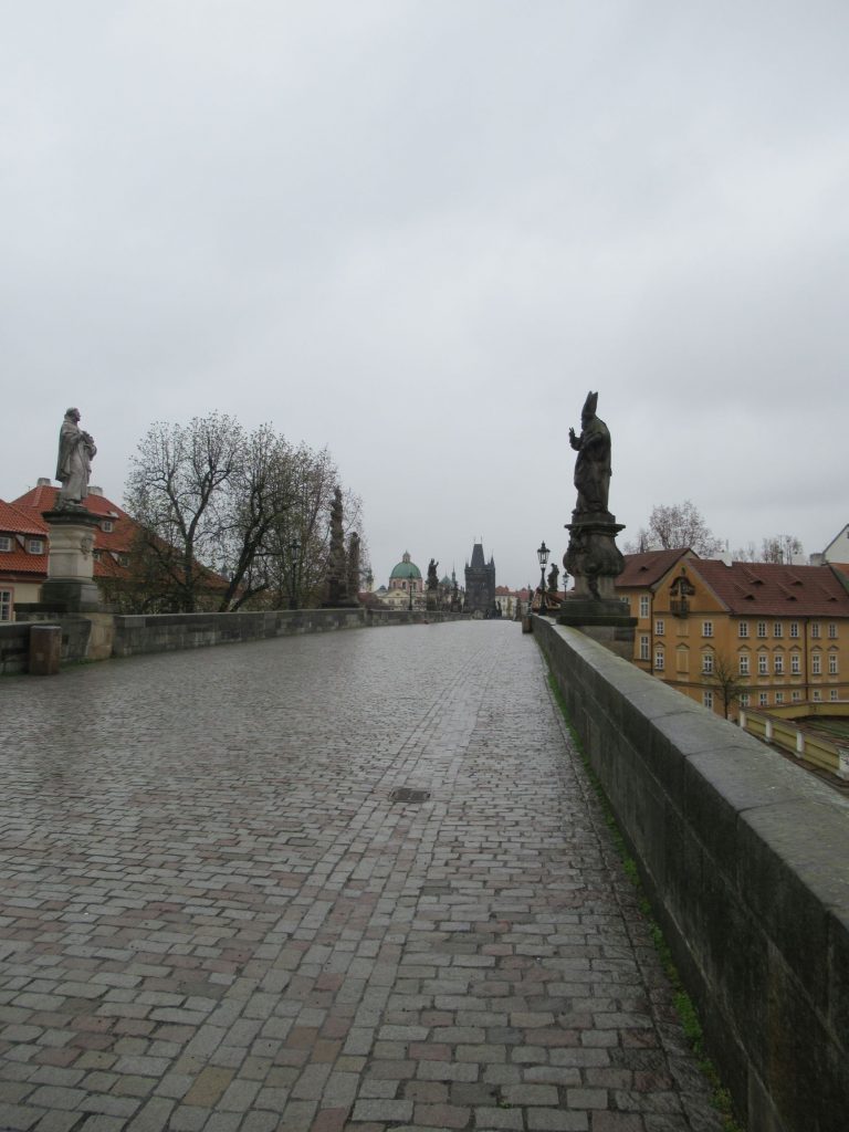
A week later, on Monday 12th April, I had to be Prague for two separate medical appointments which were several hours apart. So during the period between the appointments, in a mixture of rain and snow and with a maximum temperature of 3°, I walked around parts of the historic centre of the city. A combination of the weather, together with COVID-19 restrictions meaning there are currently no visiting tourists, meant I hardly saw another human being.
This is a never to be repeated photograph – Charles Bridge with absolutely nobody on it.
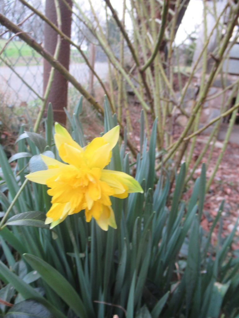
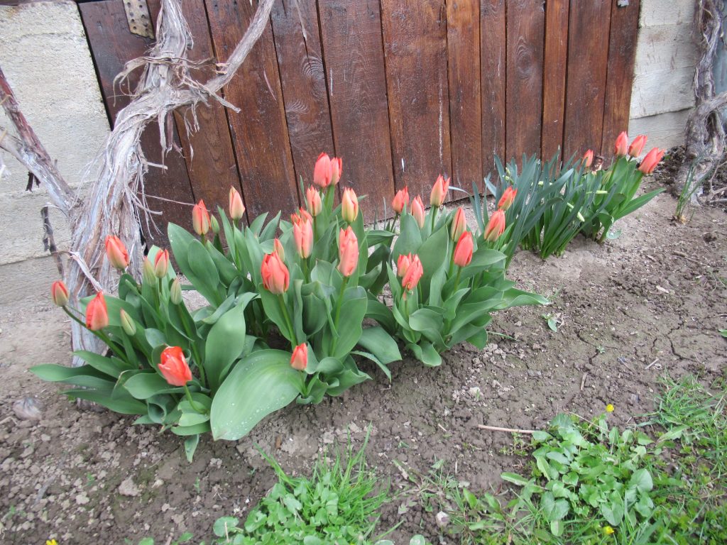
Winter did have one final fling on on Friday 16th April when we had yet more snow, which fortunately rapidly melted. But I won’t post yet another snowy photograph 😉 Instead, here are my tulips finally flowering.
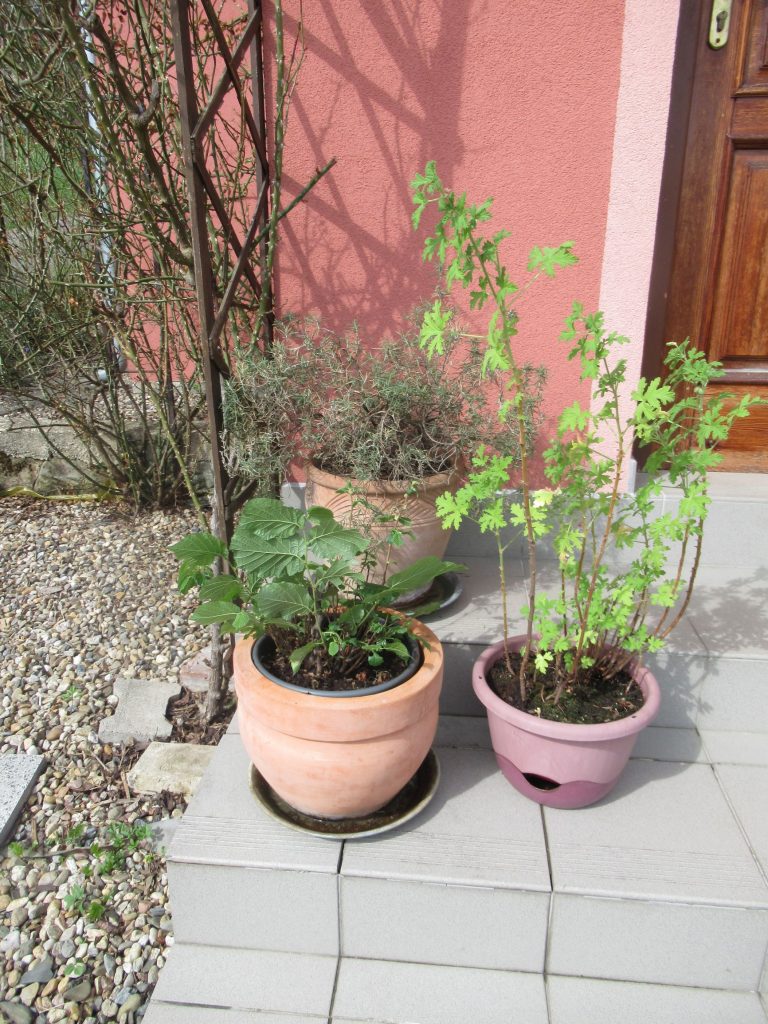
And trusting that the kidnapper of Spring has made his final appearance for 2021, a few days ago, I returned these plants to their normal Summer location on my front steps, after their Winter sojourn in the house.
As well as working on improving my garden, I’ve also been exploring more of the wonderful countryside in the surrounding area where I now live. I’ve enjoyed sharing several walks with my Czech friend Kát’a who, in turn, has been a great help to me in overcoming various Czech language issues.
Back on the afternoon of Wednesday 9th September, we climbed to the top of Vlcí hora (581m), a prominent mountain about forty-five minutes drive north-east of Stará Oleška, near the town of Krásná Lípa. Like so many Czech hills and mountains, Vlcí hora is completely forested. But also like quite a number of Czech hills and mountains, there is a viewing tower at the summit, which overcomes the problem of the trees blocking the view 🙂
Vlcí hora is the result of volcanic action during the Tertiary period. In the neighbouring photo, you can see the columns of basalt rock beneath the base of the viewing tower. Amusingly, you can also see Kát’a’s mobile phone which she was using to take a similar photo to me at the same time 😉
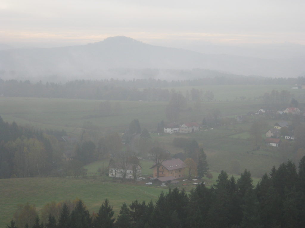
The viewing tower was open and manned so, after paying the 20kc/£0.70 per person admission fee, we climbed the 64 steps to the top. We were rewarded with these magnificent views.
On Saturday 3rd October, we walked from the village of Ludvíkovice, which lies halfway between Decín and Stará Oleška, to the Ružová vyhlídka viewpoint above Kanon Labe, which I have featured in a previous post more than two years ago.
I always think this view is spectacular. But what I particularly liked on this occasion, was the tinge of Autumn colours that you can see beginning to appear on some of the trees.
And here is me, contemplating the view in the other direction, towards Decín.
Earlier this month, on Thursday 5th November, we drove for about an hour, north and east of Stará Oleška, to the Lužické hory or Lusatian Mountains, as they are sometimes called in English. Parking the car in a small car park at the end of a narrow road, a couple of kilometres south of the small town of Jiretín pod Jedlovou, we set out to climb to the summit of Jedlová (774m).
We were blessed weather-wise, with the perfect day for walking with mainly clear skies and therefore very clear views.
Just like Vlcí hora, Jedlová has a viewing tower on the summit, along with a small hotel and restaurant. But all three were closed because of the current lockdown restrictions to reduce the spread of COVID-19. Fortunately, good views are available without needing to climb the tower.
Our return journey along the red waymarked route, (note the waymark on the tree on the right), took us between two lines of trees with an autumnal carpet of fallen leaves to walk on.
Across the road from where we had left my car, are the ruins of Hrad Tolštejn, situated on the top of a rocky outcrop. We both decided we still had just about enough energy for the climb, before setting out for home.
Now that summer is here, I’ve been determined to get out and explore more of this beautiful area on foot. Being as close as I am to Germany, I’ve frequently looked at the map and thought that it would be fun to walk through the mountains and over the border into Germany, staying overnight, before walking back to the Czech Republic, a day or two later. So on Monday 24th June, that is what I set out to do.
I first took the bus from Stará Oleška where I live, to the end of the 436 bus route in Vysoká Lípa. As it was nearly midday when I arrived, I treated myself to an early lunch in Restaurace Pension U Nás to give me sustenance for my walk. I also purchased a bottle of mineral water, one thing I had foolishly forgotten to pack in my rucksack, before leaving home.
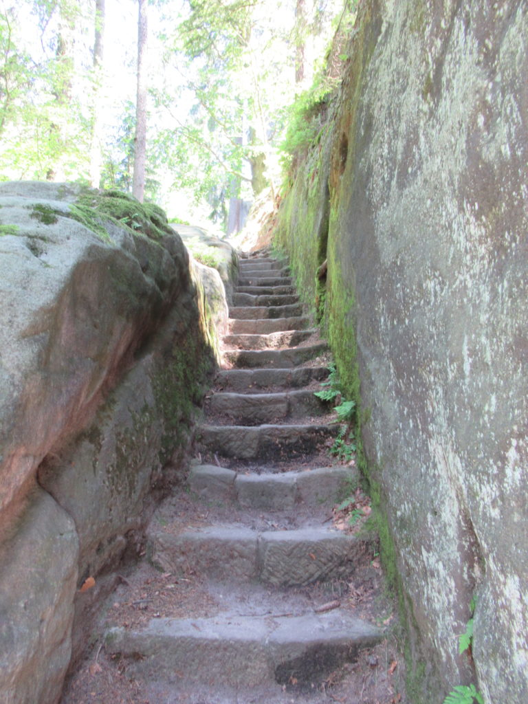
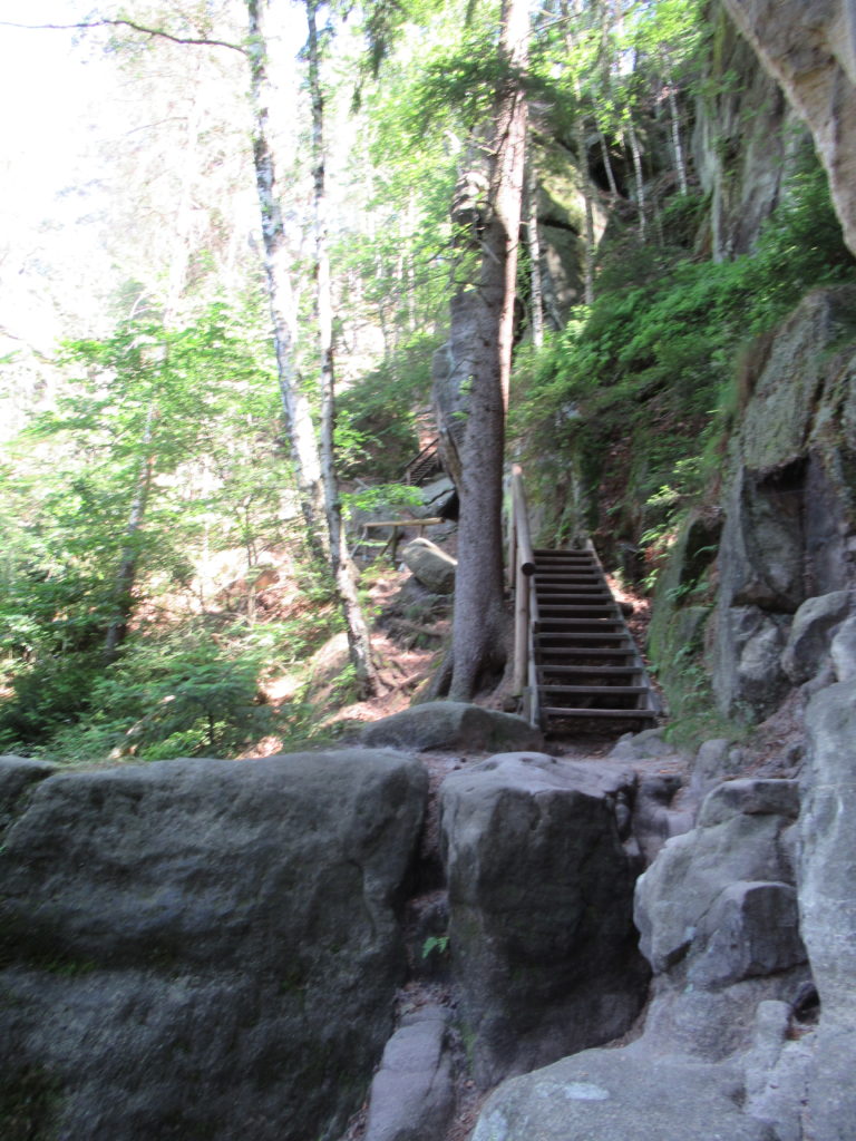
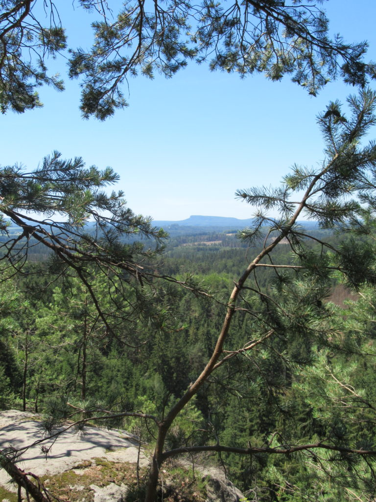
Leaving Vysoká Lípa on the yellow waymarked route, immediately ahead of me was the towering Šaunštejn Castle. Very little remains of the 14th century castle which once stood on this rocky outcrop. Below are a couple of photographs taken back in the Autumn of 2017 when I climbed to the top of it.
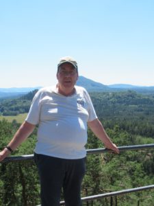
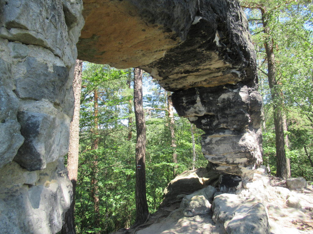
…..to Malá Pravcická brána. This is a far smaller natural rock arch than its much more famous namesake, Pravcická brána, which is located a few kilometres further west. Alongside Malá Pravcická brána is metal ladder that leads to a viewpoint where the photograph of me at the beginning of this post, was taken.
Leaving the red waymarked route shortly afterwards, a further four kilometres of walking along a wider track, which is also a designated cycle route, brought me to the Czech-German border which at this point is formed by the Krinice (Czech) Kirnitzsch (German) river.
Stepping into Germany, my plan had been to take the Grüner Strich route to the village of Hinterhermsdorf, where I had previously booked to spend the night. Unfortunately, when I reached the point where this route goes off to the right, there was a notice in German, saying that it was currently blocked by fallen trees, following a recent storm. Instead the notice said, I should walk on further and take the next track on the right, a designated cycle route.
I did as instructed and realised, as I consulted my map, that further along this cycle route, a red waymarked route went off to the left, fairly directly towards Hinterhermsdorf. What I didn’t take note of at the time, was how many contour lines there were to cross! It was a steep, tiring climb on what was a very hot day, during the recent heatwave which has hit much of continental Europe.
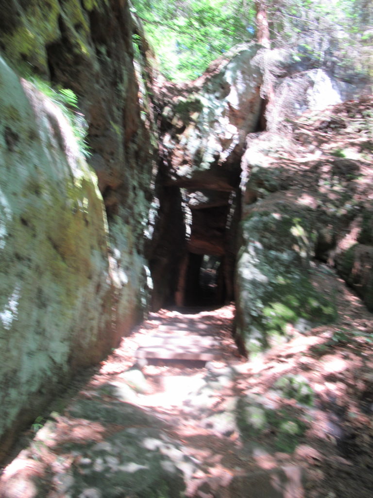
The stiff climb, the heat and ensuring I was on the correct path, meant I only took this one, slightly out of focus, photograph, where the path passes through a short tunnel under the rocks. I’ve since discovered that the path is called the Tunnelweg.
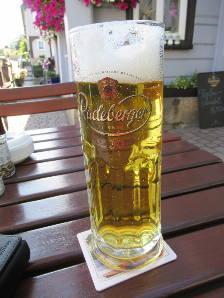
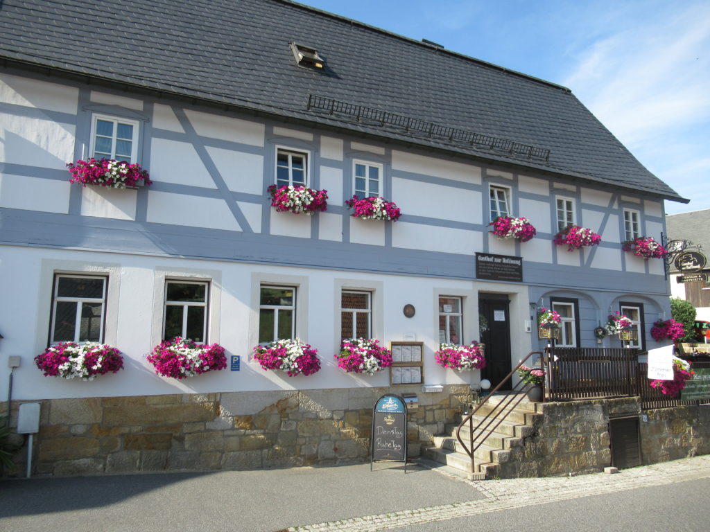
I did eventually reach the top from where it was a further two kilometres walk, fairly gently downhill, into Hinterhermsdorf. It was good to finally reach Gasthof zur Hoffnung, get showered and changed before sitting out on the terrace and enjoying some well-deserved liquid refreshment 🙂
Whilst I am used to feeling a bit stiff after a fairly long walk, when I woke up the following morning I could hardly move my right knee and putting weight on my right ankle was quite painful. So after gingerly making my way downstairs for an excellent breakfast, rather than going on a circular walk through the surrounding hills as I had originally envisaged, I returned to room to rest up. However, I did make good use of the day by writing and posting my previous blog post about Meissen 😉
I did eventually go for a brief hobble around the centre of the village. And in the evening, I once more hobbled, this time to the nearby Gasthaus zur Wanderstübel, as the restaurant where I was staying had Ruhetag 🙁
The following morning, with a right knee and ankle still not functioning properly, and with the continued excessive heat, I decided that discretion was the better part of valour. Instead of walking back over the border to Vysoká Lípa and getting the bus back to Stará Oleška, I decided to make my way home by public transport. First a bus from the stop right outside Gasthof zur Hoffnung, to Bad Schandau railway station. Then by train along the Elbe/Labe valley to Decín. Finally by bus from Decín to Stará Oleška.
However, I do hope to make a return visit to Hinterhermsdorf and explore the surrounding area. After my recent experience, I shall probably drive there and make it my base and also try to do so when the weather is a few degrees cooler.
On Saturday 1st September, a group from my former congregation at St Clement’s Anglican Episcopal Church, Prague, are travelling by train to Decín, for me to take them on a guided walk through the Labské pískovce Protected Landscape Area where I now live. This post is both an account of my research for that walk and is also aimed at giving the prospective participants, a taster of what they can look forward to experiencing 🙂
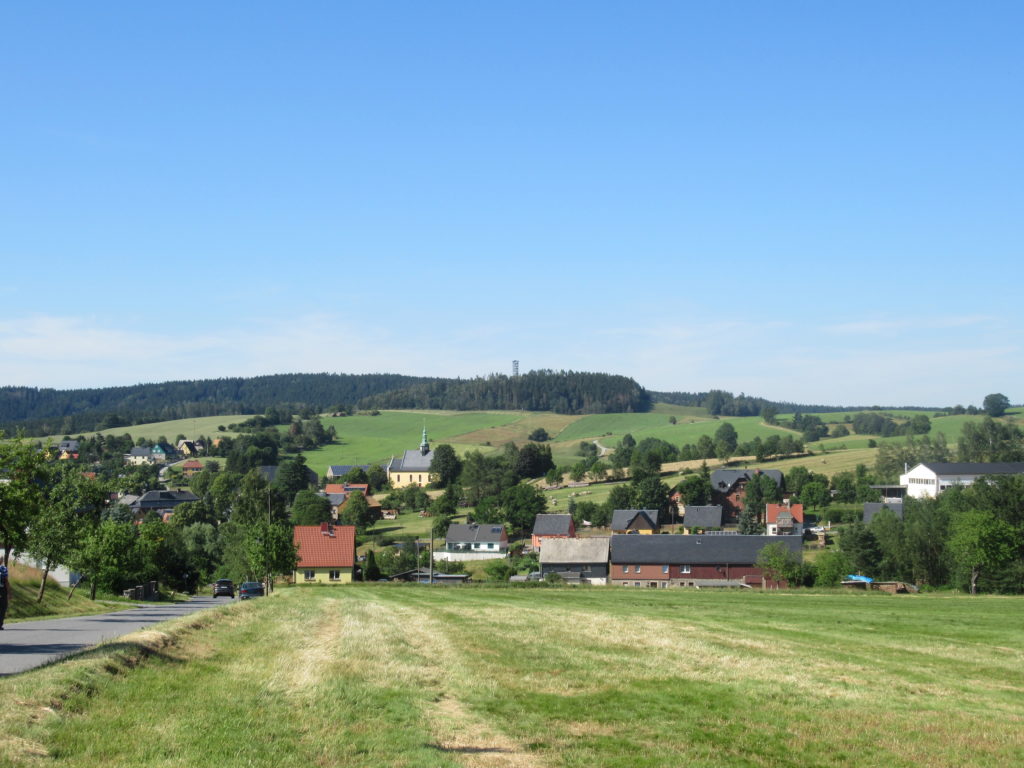
The walk starts in the village of Ludvíkovice, which lies between Decín and Stará Oleška. From outside the Post Office, where I parked my car, I then walked into the forest a short way, to join the red waymarked route that comes up from Decín and is part of the E3 European long distance path. Heading north and climbing steadily for about 1.5km, the path arrives at the first spectacular viewpoint, Vyhlídkové místo.
This is the view looking north with the Labe river flowing towards Germany, where it becomes the Elbe.
Slightly further on, there is second viewpoint, also called Vyhlídkové místo 😉 , from where the full extent of the forest lying below the cliffs and stretching down to the valley floor, can be seen.
From Vyhlídkové místo, there is a shallow valley to be crossed, followed by a short climb up a zigzag path to Ružová vyhlídka, at 433m above sea level, the highest point on the route.
This is the view south from Ružová vyhlídka. Decín in the far distance, stands at 135m above sea level which means that Kanon Labe is nearly 300 metres deep.
From Ružová vyhlídka, the red waymarked route is followed for a further kilometre before turning off onto the green waymarked route, heading back south through the forest.
The path then passes this fascinating geological feature, Slunecná brána, a small sandstone rock arch formation. As you can see, there is a seat provided if you need to rest your weary legs 🙂
The path then undulates through the forest, with glimpses of the village of Ludvíkovice through the trees, completing a circular walk and rejoining the red waymarked route.
Retracing my earlier steps for about 0.5km, rather than then walk back into Ludvíkovice, I continued along the red waymarked route, in the direction of Decín. This leads to two further viewpoints.
The first of these is Vyhlídka Labská stráž where there is this sandstone pavilion, originally built in the late nineteenth century. As you can probably see in the photograph, the safety barriers have been recently repaired. The stonework has also been re-pointed, restoring the building to its former glory.
From the pavilion there is this splendid view. On the west/left bank of the Labe is the Prague-Decín-Dresden railway, whilst on the east/right bank, is the main road from Decín to Dresden.
From Císarský výhled, the red waymarked route then descends down this zigzag path to a bus stop opposite Decín hospital. There is a local bus from here, directly to the main railway station. On the day of my exploration, I had to walk to another stop to get a bus back to my parked car.